Can a single geographic location have 2 names depending on how you got there? That seems to be the case with Durian Hill … or should I say Bukit Bandar Utama?
As of late, work takes me to Gua Musang every Monday. I’m here little over 12 hours but that’s just enough time to squeeze in a hike up the hill near the homestay we put up at.
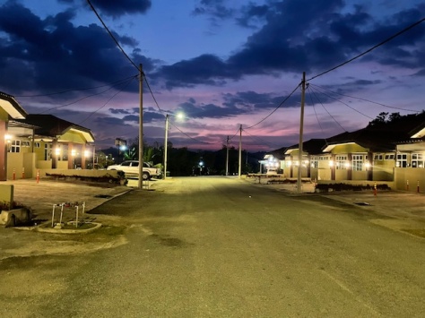
Locals have named the hill Bukit Bandar Utama after the township, elsewhere on Google Maps its dubbed Durian Hill. The access points differ: local trail runners favour the the gravel road near the township’s lake. Eric and I typically enter via the stairs on Jalan Akasia Utama 2. Both lead to the same summit; I’ll describe our route here.
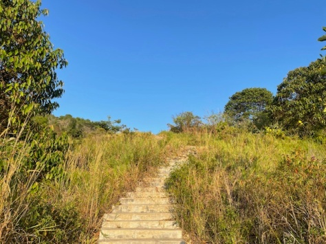
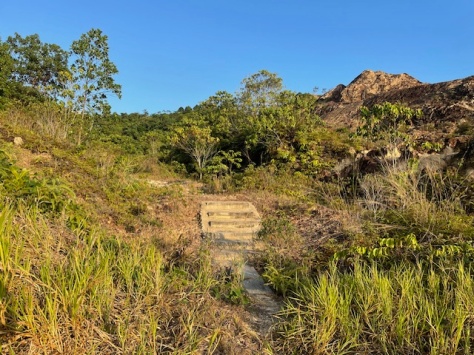
Because there is a lack of a single discernible trail on this side of the hill, there are numerous ways to get to the summit from the stairs on Jalan Akasia Utama 2.
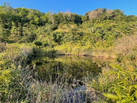
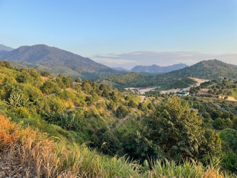
The first time we went we had our sights set on what we thought was the peak but turned out to be a lookout point. We went right of the stairs, scrambled up the scree-hewn hillside and followed the faint trail eked out in the dust by foot fall to a plateau where a rock strewn road meets a dusty one that looks to originate from the beside the lake. That road continues uphill right of our target, but as we reckoned this is the long way up, we bore left up gravel road; above it high up on the hillside, a swiftlet barn.
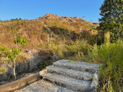

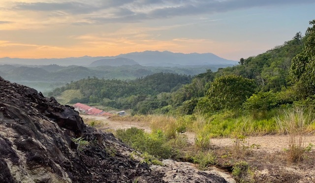
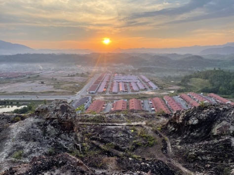
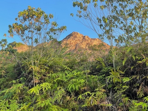
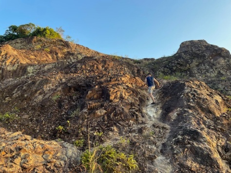
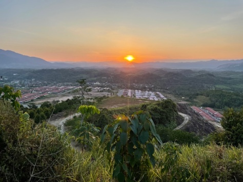
The exposed rock looked formidable so some strategy was involved in picking the best line to climb as the loose rock doesn’t offer much purchase. Once over the worst of it, faint trails revealed themselves, before we arrived at another plateau just behind our lookout point. That’s when we discover that what we assumed to be the peak, wasn’t. It is a fabulous lookout point though, with views across Gua Musang’s Bandar Utama township, westward towards the Main Range, so no hate there.
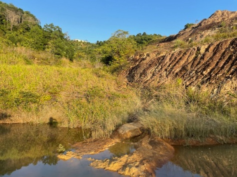
On our second venture we aimed for the peak. This time, after the stairs we went left along a more scenic route that took us between small hidden pools of water before zig-zagging up a trail that eventually exits at the bottom of the stony road underneath the lookout point.
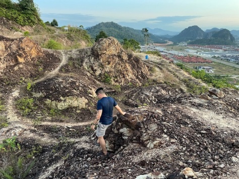
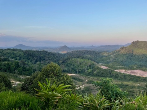
We avoided the gravel road up and carved our own way up the middle of the hill only to be fooled again. It was yet another false peak, this one levelled and planted with tall, skinny durian trees.
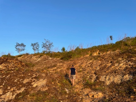
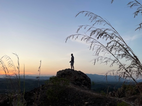
From there we could see yet another hilltop and opted for the direct route there via a deeply scarred dirt track. No more fooling us this time, we had finally made the peak on our second attempt.
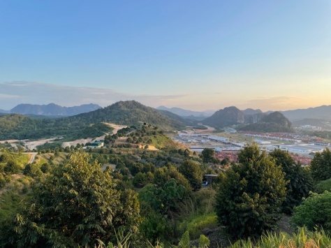
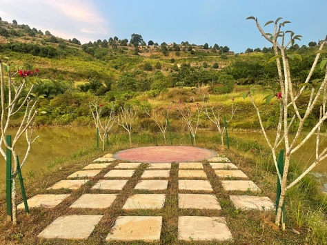
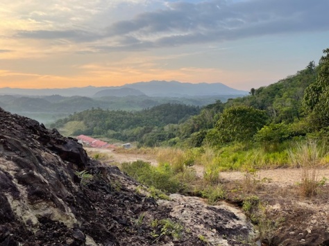
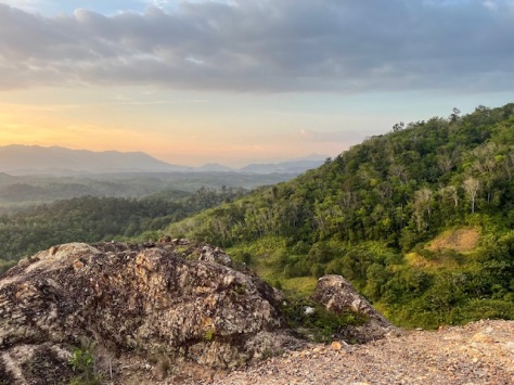
Between a row of lime trees a lanai had been erected to make the most of the view overlooking the township and Gua Musang’s dramatic sunsets. Behind it were a bank of silos and a makeshift toilet presumably for the orchard workers. On a neighbouring hilltop stood a small family temple and behind that a swiftlet barn.
Previously hidden from view, from here we could appreciate the scenery to the east including Gunung Rabong (1538 metres) , Federal Highway 8 wending its way northwards to Kota Bharu and the full scale of the durian plantations that stretch all the way down Durian Hill/Bukit Bandar Utama’s undulating hills.
Altitude 240 metres.
Distance and time 1 kilometres one-way, 25 minutes.
Rating Moderate. Not hard but tricky to pick out a clear route and the loose rock makes it taking a slip or fall easy.
Tip Skip the peak; the best views are from the lookout point.
Leech count None but watch out for dogs (they’re friendly) and wild boar.
Costs None. No permits or guides required.
Facilities Toilet at the peak.
Parking Roadside on Jalan Akasia Utama 2 in Bandar Utama, Gua Musang.
GPS coordinates (trailhead) 4.901693, 101.978376
Follow the trail on my AllTrails here.
