
The May Day weekend outdoor adventures continued with a hike to Lata Hammers waterfalls in Bentong Pahang with the KL Hiking crew.
It was another day off, another early morning wake up call and another convoy from Genting Sempah. If our Friday hike to Lata Naning had taken us to the Bentong exit and onwards to Chamang Waterfall, today’s hike to Perting Pandak Waterfalls, or Lata Hammers as it’s also known, had us taking a winding B-road from Genting Sempah, through the small Bukit Tinggi township, past Bentong Hot Springs.

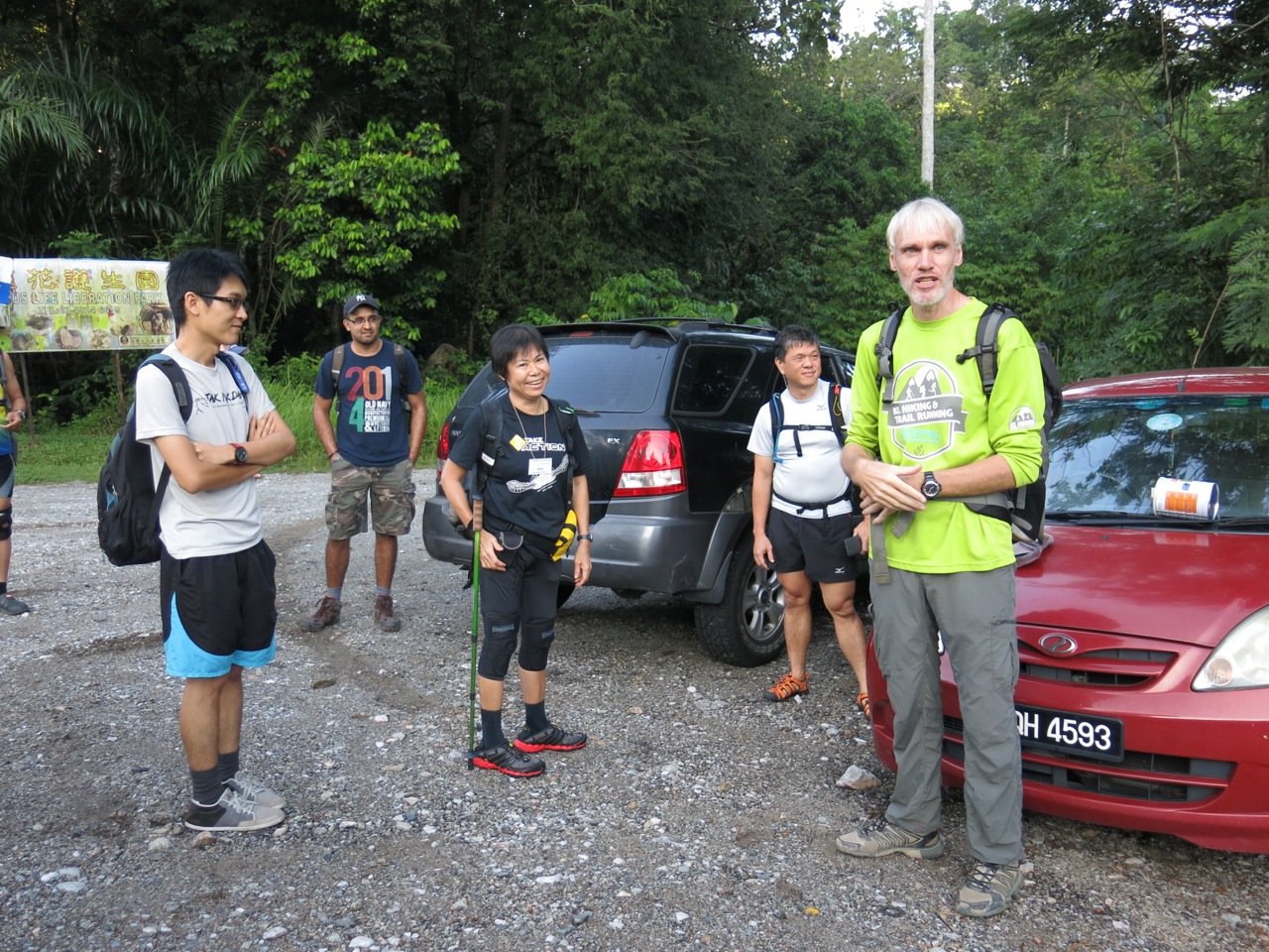
We parked on the gravel at the side of the road, just a few meters away from Kin Tick Orchard Village. It’s an easy 2 hour walk to Lata Hammers from here passing rubber small holdings and fruit orchards.

Once narrow and in some places overgrown, farming and 4×4 activities have widened the trail to a road, albeit a very uneven, potholed-riddled dirt one. If you’re willing to risk it, you can drive a lot further in. However we were here for the journey as much as the destination, so no complaints from me about the extra mileage.


Thanks to the metal bridges there’s only one small river crossing that we have to make, just off a T-junction and through some private property.


Sungai Perting Pandak is only a few metres wide and shallow in depth (up to our thighs) here but a few helping hands don’t go amiss, particularly on the other side where there’s a steep embankment to surmount.


The remainder of the trail is undulating with a few obstacles. A massive tree had come down and blocked the road during our hike. We literally had to climb over and jump down from it but I’m guessing it would soon be cleared away to allow vehicles through.


A bunch of mountain bikes abandoned on the trail told us we were close to the falls. It’s a scramble down the steep hill face from here, but well placed roped helped ease ourselves descent.


The sandy beach on the other side of the river is where we set up base. To get to it we have to either teeter along some logs balanced between rocks or wade into the water. As I’d rather take my chances with solid ground I chose the latter – it wasn’t like my feet weren’t already wet anyway.


There’s ample space here. There were about 30 of us, the cyclists and a group of campers who looked as if they had set up and stayed over the long weekend and there was still room to spare.


Lata Hammers itself resembles a lagoon. It’s easily 30 meters across either way, and like a beach the water is shallow before it dips off into the depths. We were reminded to avoid the dark areas which have a reputation for currents and whirlpools. Deaths have been recorded here, even in strong swimmers.


After we put away some luscious slices of fresh watermelon courtesy of Alex, a handful of us decided to take a closer look at the falls.


We picked our way across the slopes towards the rushing waters, first to the upper falls then to the lower falls. Then one by one we climbed down using roots as foot and hand holds to lower ourselves closer to the water’s edge. It was easier than it looks nevertheless my nerves were getting the better of me – one miss-step could spell disaster.


We pack up and head back to the cars not long after our brief adventures. There’s one more destination to go and it’s a treat for all the weekend of walking – Bentong Hot Springs.
Distance and time Approximately 8km one way, the hike to the falls should take you approximately 1 1/2 to 2 hours.
Rating Easy. Aside the distance, there are few challenges bar a small river crossing. Even kids can do this one.
Tip My one bugbear about this trail is the rubbish left behind, with plastic bottles dumped at the top of the climb down into Lata Hammers and over flowing rubbish bins by the river.
I’ll never understand why people litter. Since visitors come here for the beauty and must understand that if they contribute to its ugliness then eventually even they won’t want to return, then why do they leave behind their rubbish?
If you can bring it in then you can take it out, to your car, and back home, where you can sort it and dispose of it correctly.


Getting there Exit Karak Highway (the toll is RM5 either way)and take the #68 trunk road towards Bentong. You’ll pass an unnamed waterfall and Bentong Hot Springs. The drive is scenic, through narrow winding roads with the river at one side and forest all around, but do watch out for cyclists and the occasional jogger. Park by the side of the road opposite Kin Tick Orchard Village.

Hi Im going on an hike this weekend. Cant seem to find Kin Tick village. could you please drop me a SMS on the Waze location? 0143061865.
Thanks.
-dan-
You should be able to Google it. Try Kin Tick Village or The Waterway Villa – they are one in the same and its GPS position is 3.450301, 101.899867. Good luck!